Destino João Pessoa
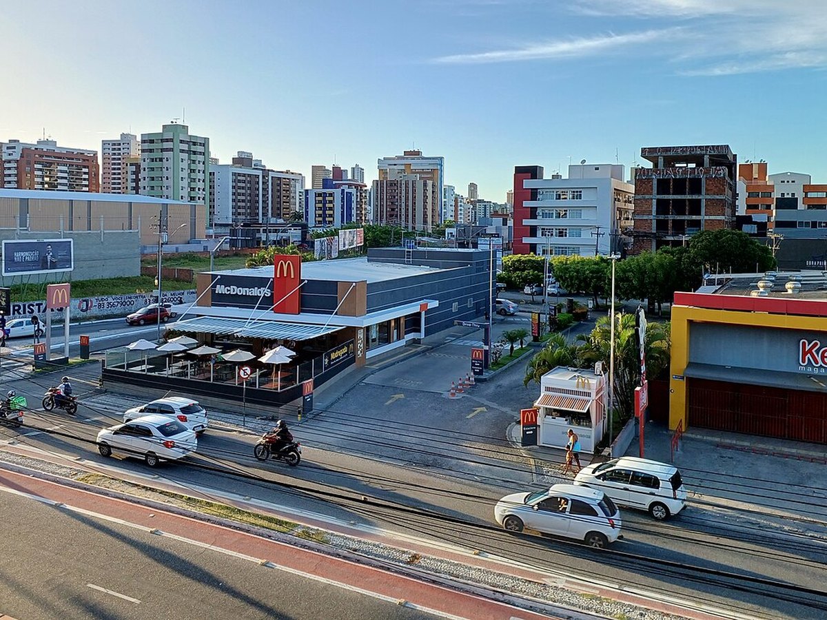
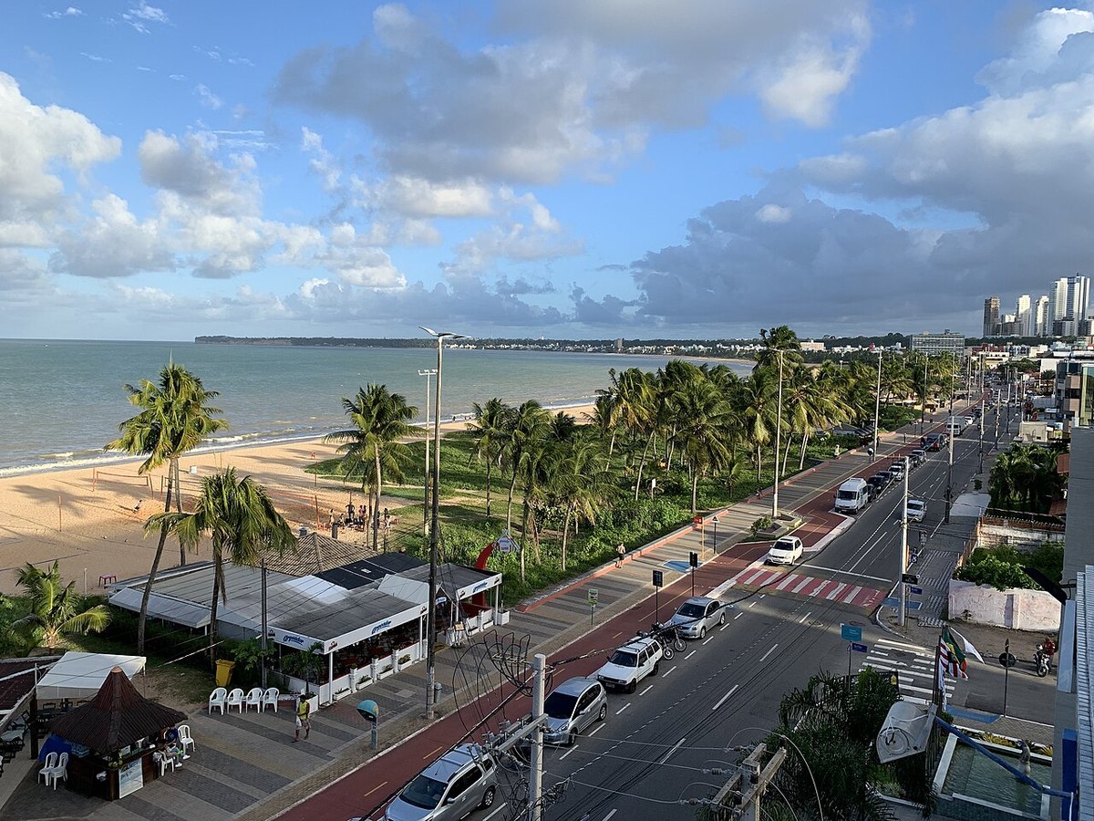
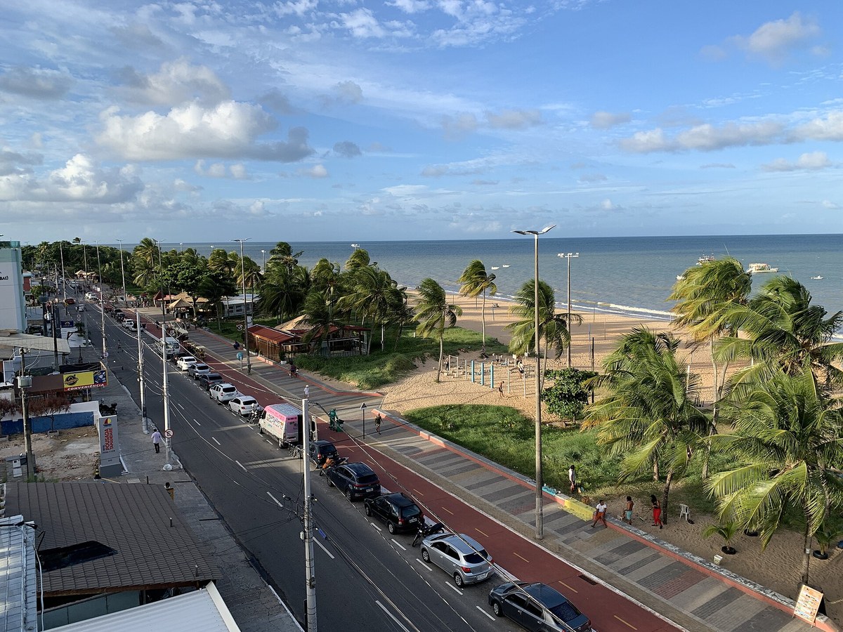
Avenida Senador Ruy Carneiro in the Brisamar and Manaíra area
All neighborhoods

Neighborhood guide

Brisamar

Mobility and strategic position

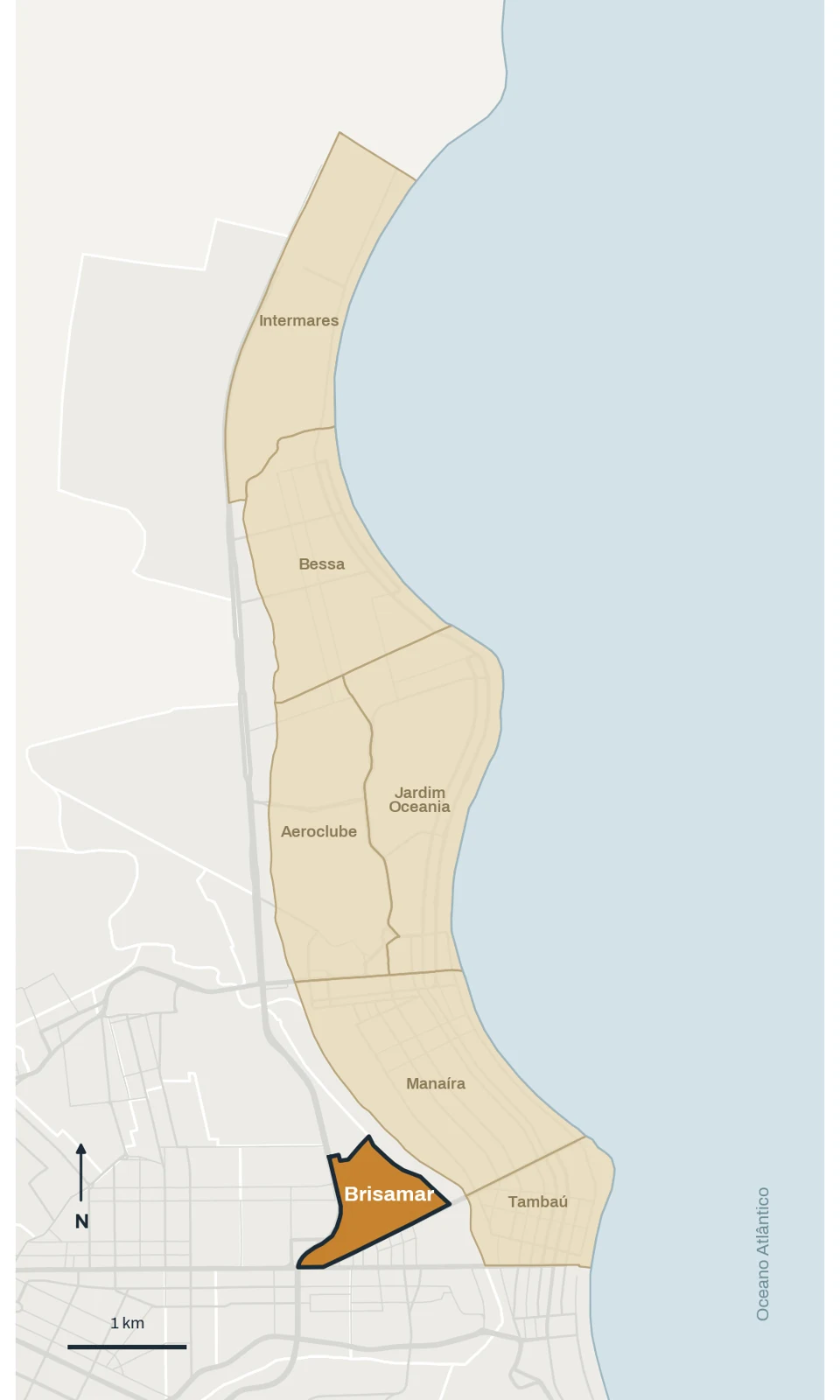
brisamar · Boundaries shown in the study · © OpenStreetMap contributors · ODbL
Boundaries shown in the study · © OpenStreetMap contributors · ODbL

João Pessoa · outubro/2026

Neighborhood facts

Population · 2022 Census
7,247
Area
58.2 ha
Calculated density
12,452 hab./km²
Municipality
João Pessoa

Name origin

The Atlas links the name to sea breezes reaching the elevated terrain.

Neighboring areas

Miramar · Pedro Gondim · São José · João Agripino · Tambauzinho

Population: IBGE, 2022 Census. Areas: Municipal Atlas as listed in the October 2026 study profiles. Density is calculated using that same area; different territorial definitions are not directly comparable.

History and formation

How the neighborhood took shape

According to the Municipal Atlas, Brisamar originated in the Cléa Luna subdivision, later home to the Brisamar housing development. The source does not state its establishment date or developer; these gaps are preserved rather than filled with assumptions.

The Atlas describes an average elevation of about 38 meters, on the cliff above the coastal plain. The informal name Jardim Luna appears in property listings, but the study found no documented historical link to the original subdivision.

What living in Brisamar is like

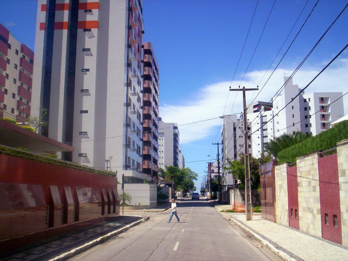
Residential neighborhood between Manaíra and Miramar, accessed by Avenida Senador Ruy Carneiro with quick connections to the oceanfront and central areas.
Layout and settlement

Brisamar has no ocean frontage. The Atlas describes predominantly detached housing with increasing apartment development. At 58.2 hectares in the study basis, it is the smallest of the seven compared neighborhoods. Its elevated location differs from neighborhoods directly on the coast.

Before choosing a property

The study did not confirm plot-level zoning or how the coastal protection strip intersects Brisamar. Do not assume the entire neighborhood is exempt from height restrictions. Request the municipal land-use certificate before assessing a project.

Building heights and coastal protection

State Constitution Article 229 protects a 500-meter strip from the spring high-tide line and provides stepped building heights. The official version consulted, updated through amendment 57/2024, states 12 meters, unlike the 12.90 meters in the study and municipal parameters. Application depends on legislation, court decisions and each plot: this guide does not establish a property's permitted height. The outcome of 2026 proceedings was not confirmed in this update. Request a land-use certificate and check permits.

Constituição Estadual · art. 229 · EC 57/2024

Current profile

What to consider in your choice

  • Access via Avenida Senador Ruy Carneiro
  • Quick connection to Manaíra and Miramar
  • Vertical residential profile
  • Close to shops and services

Want to evaluate properties in Brisamar?

Our team compares price, documentation and fit with your goal before you decide.

Talk on WhatsApp

Explore other neighborhoods

Sources consulted

Listing ranges reviewed in September 2026. They are indicative references, not formal appraisals nor a promise of availability. Prices may change without notice.