Destino João Pessoa
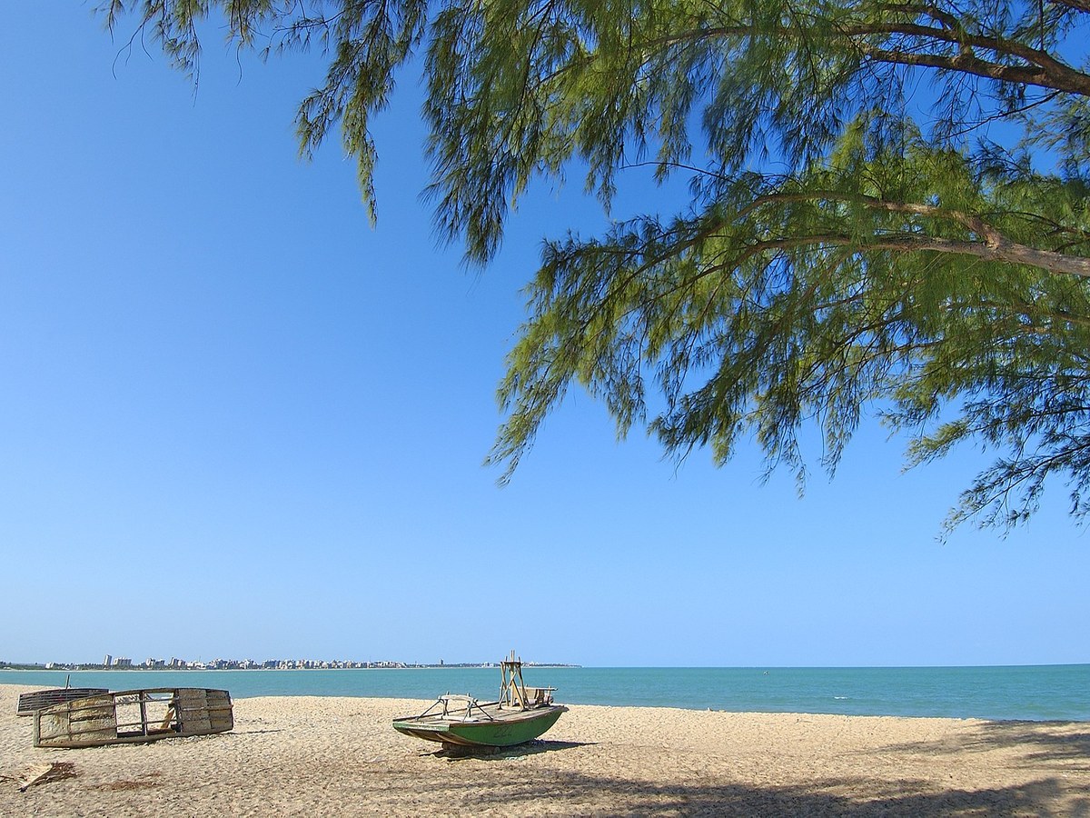
Bessa beach with sand strip, blue sea and a fishing boat
All neighborhoods

Neighborhood guide

Bessa

Residential life close to the sea

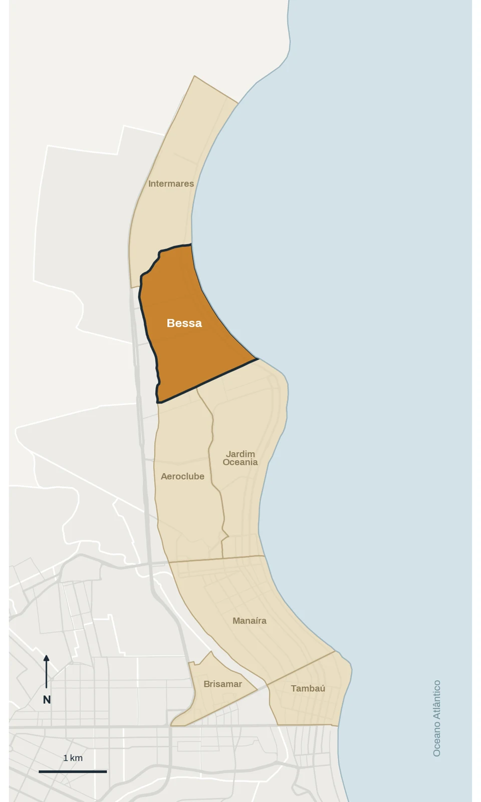
bessa · Boundaries shown in the study · © OpenStreetMap contributors · ODbL
Boundaries shown in the study · © OpenStreetMap contributors · ODbL

João Pessoa · outubro/2026

Neighborhood facts

Population · 2022 Census
16,414
Area
204.1 ha
Calculated density
8,042 hab./km²
Municipality
João Pessoa

Name origin

Sources link the name to the surname Bessa, but differ between Antônio and Manuel.

Neighboring areas

Jardim Oceania · Aeroclube · Intermares (Cabedelo)

Population: IBGE, 2022 Census. Areas: Municipal Atlas as listed in the October 2026 study profiles. Density is calculated using that same area; different territorial definitions are not directly comparable.

History and formation

How the neighborhood took shape

Former Bessa covered a larger region than today, between Manaíra, the sea and the former Jaguaribe riverbed. Small farms, coconut groves and fishing preceded mid-twentieth-century subdivisions. Diversion of the Jaguaribe in the 1940s enabled settlement, with environmental impacts described by the Atlas.

The 1998 administrative division separated Bessa, Jardim Oceania and Aeroclube. Present-day Bessa is the northern portion, linked to the former Bessamar and Jardim América subdivisions. This boundary change matters when comparing reports, listings and historical series.

What living in Bessa is like

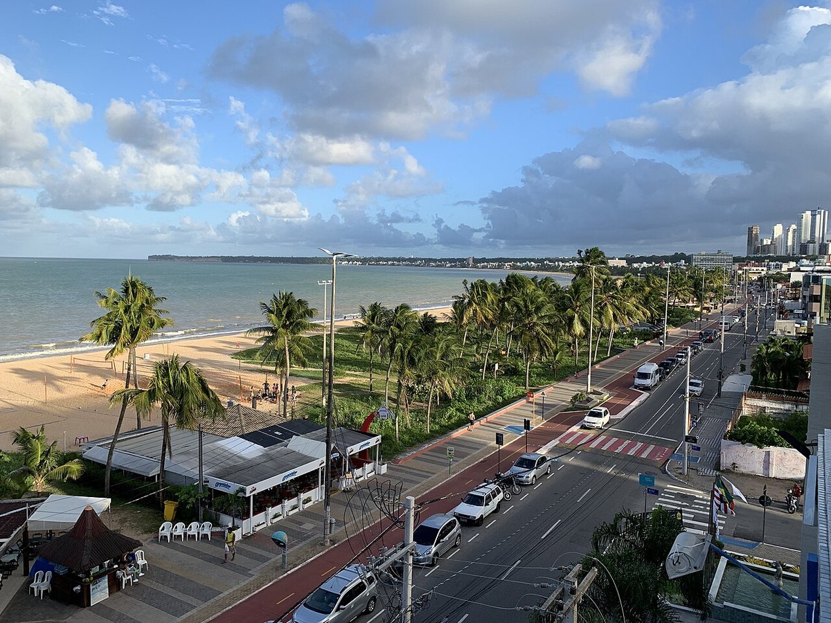
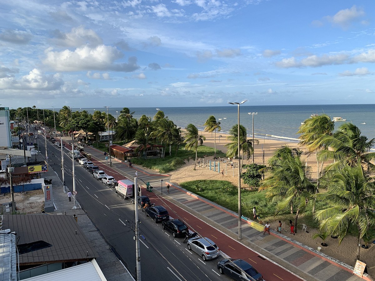
Extensive neighborhood along the northern shoreline of João Pessoa, with residential stretches and an urban beach marked by reefs and palm trees.
Layout and settlement

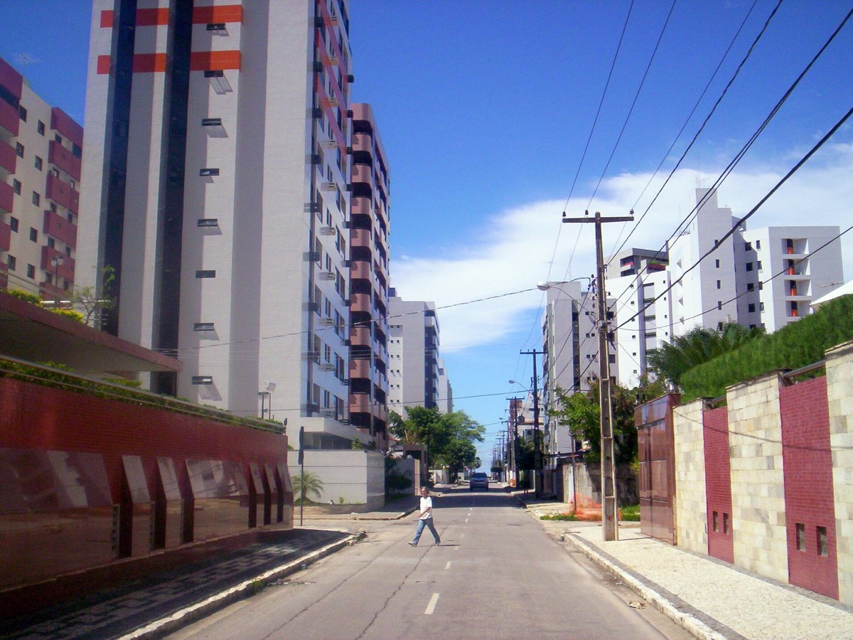
The Atlas describes low-rise residential settlement with increasing apartment development, especially inland. Parque Linear Parahyba added walking, cycling and leisure spaces in the sector. To the north, the Jaguaribe mouth marks the transition to Intermares in Cabedelo.

Before choosing a property

The study cites the MPF on a 2025 emergency project for 600 meters vulnerable to erosion, not the entire beach. Bathing-water quality changes weekly: check the latest Sudema report, especially near the estuary and drainage outlets. Reports of works do not confirm completion.

Building heights and coastal protection

State Constitution Article 229 protects a 500-meter strip from the spring high-tide line and provides stepped building heights. The official version consulted, updated through amendment 57/2024, states 12 meters, unlike the 12.90 meters in the study and municipal parameters. Application depends on legislation, court decisions and each plot: this guide does not establish a property's permitted height. The outcome of 2026 proceedings was not confirmed in this update. Request a land-use certificate and check permits.

Constituição Estadual · art. 229 · EC 57/2024

Landscapes and memory

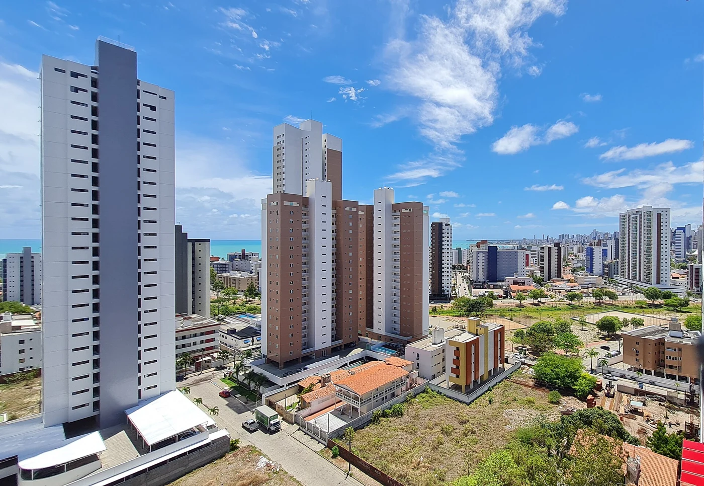
Bairro do Bessa, 2022
TiagoLubiana · CC0 · Wikimedia Commons

Image extracted from the study and resized. Historical photographs do not necessarily show current conditions.

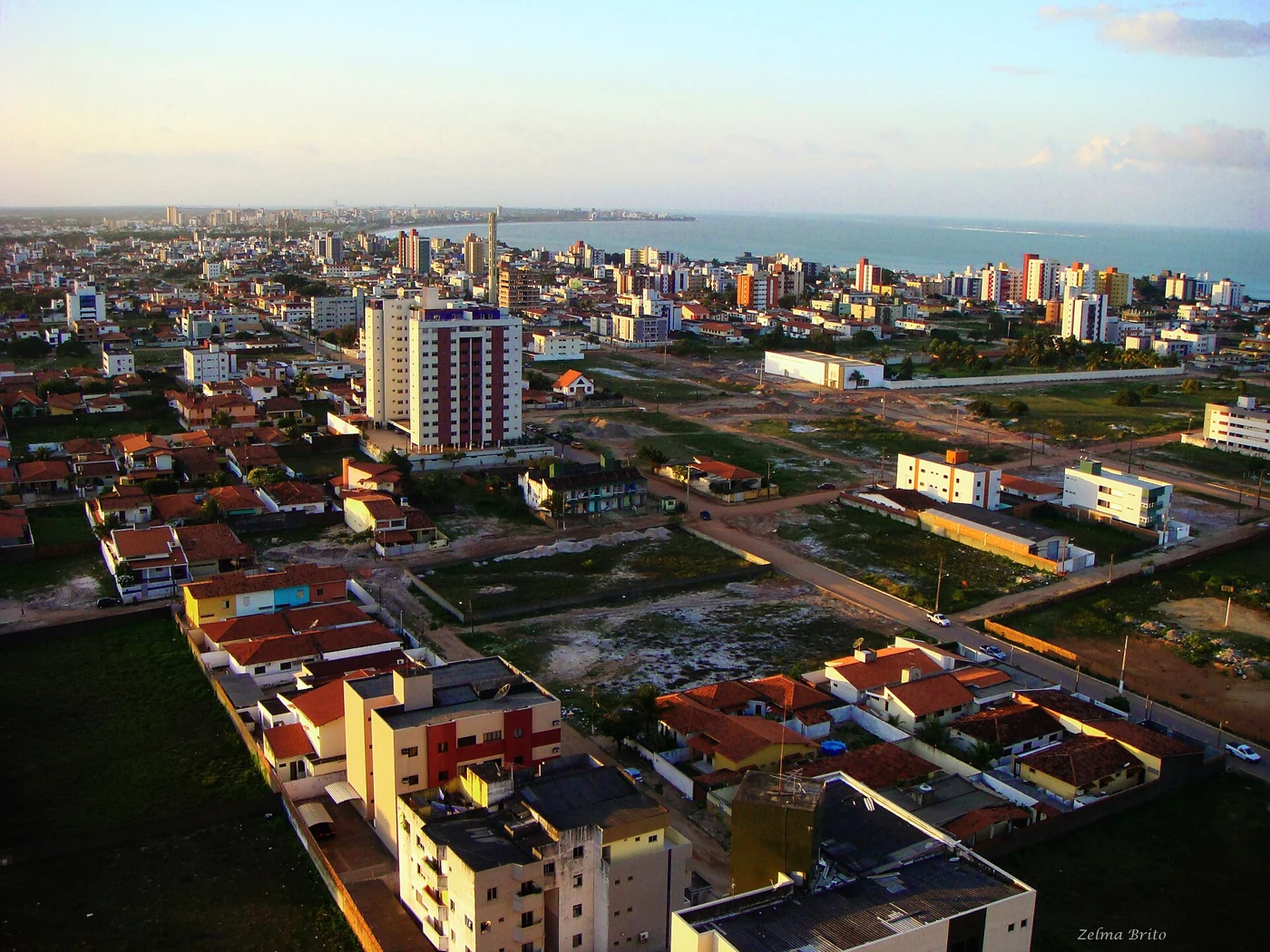
Bairro do Bessa — panoramio (16)
Zelma Brito · CC BY-SA 3.0 · Wikimedia Commons

Image extracted from the study and resized. Historical photographs do not necessarily show current conditions.

The source uses “Bessa” for the wider sector; the exact viewpoint is unidentified.

Current profile

What to consider in your choice

  • Long coastal stretch
  • Residential profile across different sections
  • Connection with Jardim Oceania and Cabedelo
  • Supply of compact and family properties

Want to evaluate properties in Bessa?

Our team compares price, documentation and fit with your goal before you decide.

Talk on WhatsApp

Explore other neighborhoods

Sources consulted

Listing ranges reviewed in September 2026. They are indicative references, not formal appraisals nor a promise of availability. Prices may change without notice.